On BEAD, Every Inch of Offset Is a Test Hole
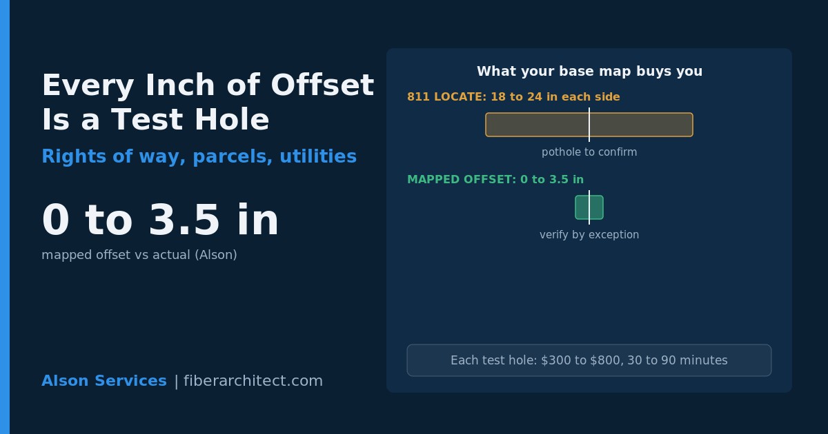
An 811 locate only promises that a buried utility sits somewhere inside a tolerance zone of 18 to 24 inches on each side of the paint [Common Ground Alliance, 2024]. Hold rights of way, parcels, and utilities to an offset of 0 to 3.5 inches instead, and the map stops being a guess you have to dig to confirm.
On a BEAD route crossing hundreds of existing utilities, positional accuracy is schedule. The only way to know a line's exact position is to physically expose it, the SUE Quality Level A method, which vacuum-excavates the utility for roughly half-inch precision [ASCE 38-22]. Everything short of that carries a tolerance zone, and a tolerance zone is a hole you may still have to dig.
Here is the catch that slows projects. You cannot pothole an entire route. A single test hole commonly runs 300 to 800 dollars and 30 to 90 minutes once survey and backfill are counted, so verifying every crossing by hand turns a route into a stop-and-dig sequence. When the base data is only locate grade, crews daylight at nearly every crossing before a bore, and the calendar absorbs every one of those holes.
Tighten the positional data and the math changes. If rights of way, parcels, and utilities are already mapped to a 0 to 3.5 inch offset, the blind spots shrink to the genuinely uncertain crossings. You pothole by exception, not by default, and the route plan survives contact with the field instead of being redrawn at every mark.
The same accuracy governs the paper side. A parcel line off by a few feet puts a drop or a handhole on the wrong property, and a right-of-way edge off by a few feet turns a compliant bore into an encroachment. Permit packages, easements, and as-built reporting all inherit whatever error lives in the base layer.
Alson builds custom agents in-house and delivers rights of way, parcels, and utilities to an offset of 0 to 3.5 inches, tight enough that crews verify by exception rather than potholing every crossing to trust the map.
For anyone scoping a BEAD build, ask what offset your base map carries before you price the bores. A route drawn on locate-grade data hides its cost in field verification, and that cost shows up as crew hours, not as a line item you approved.
The builds that move fastest are the ones whose map was accurate enough that the field mostly confirmed it.